INFO
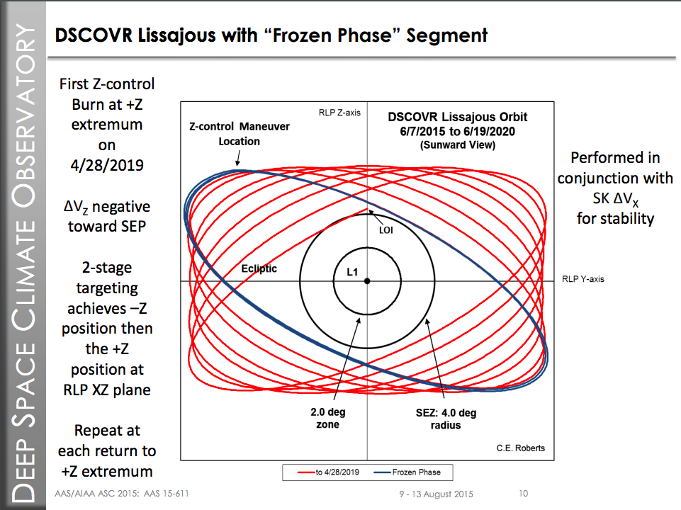
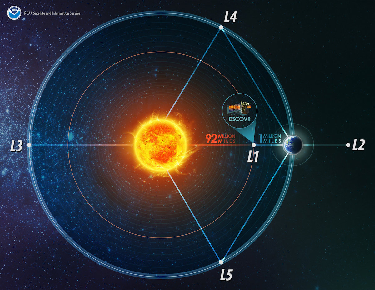
This graph is designed to give a visual representation of the locations of two space weather satellites orbting the sun. It uses real-time data from the NOAA Space Weather Prediction Center and the DSCOVR/ACE satellites. The default view is looking at the satellites from the Earth's perspective, but you can also view the satellites from the Sun's perspective by clicking and dragging.
The mission of the DSCOVR/ACE satellites is to monitor the sun and its effects on Earth. The DSCOVR/ACE satellites are part of the NOAA Space Weather Prediction Center and are funded by the NASA, NOAA, and NSF.
https://en.wikipedia.org/wiki/Lagrange_point


